Activities

Our Cycling Tracks

You never forget how to ride a bike... that’s not just a saying—it’s actually scientifically proven! You can prove it for yourself on our bike trails and tours. Whether you’re riding a mountain bike, touring bike, road bike, or e-bike, our routes are versatile and varied, perfect for those getting back into cycling, beginners, families, and endurance enthusiasts! We’ll also show you the best places to take a break, what else there is to discover along the way, and where the nearest bike service station is—just click through.

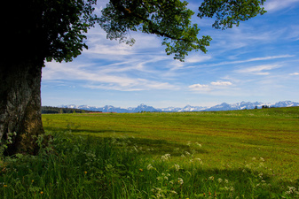
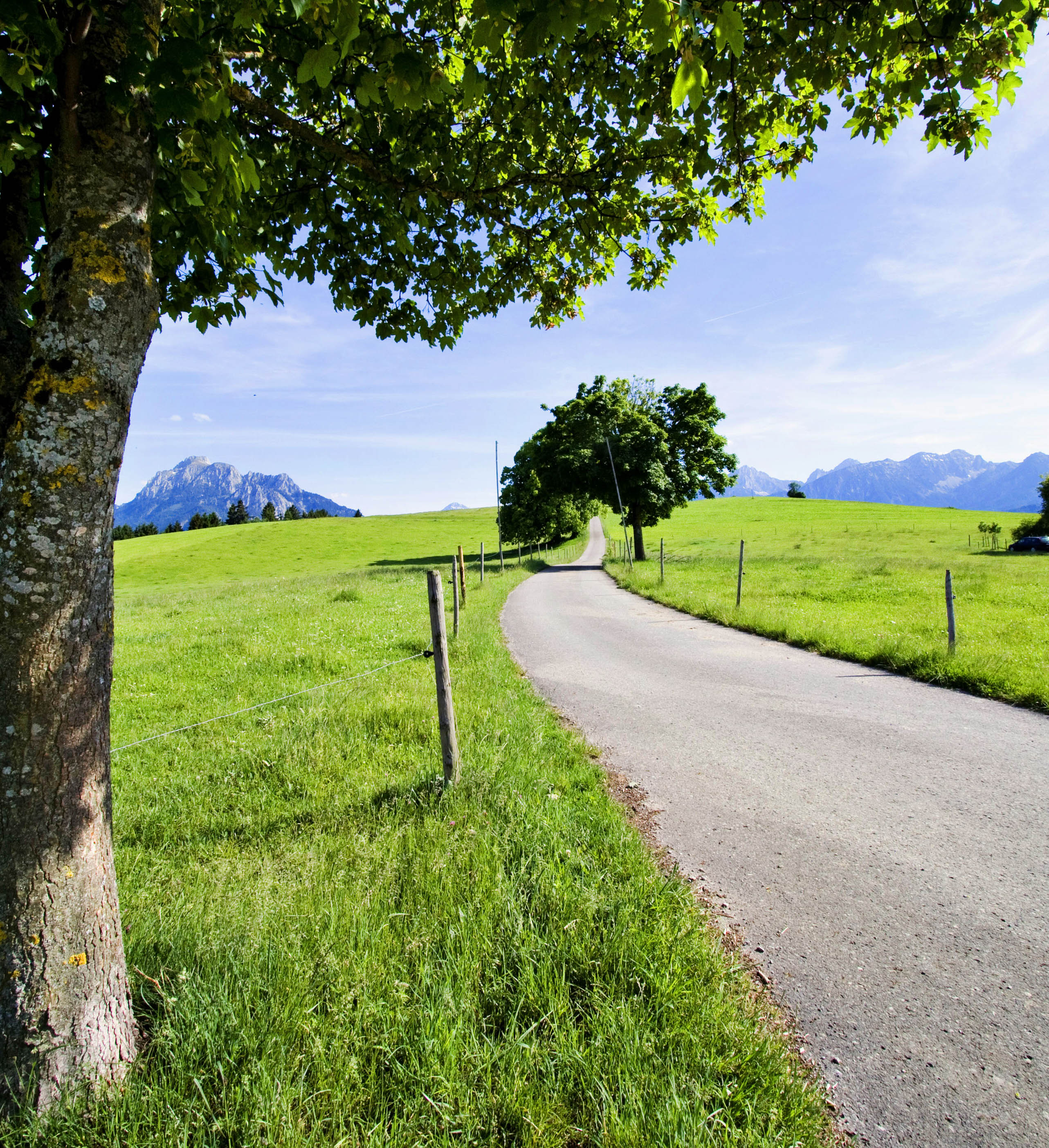
Radweg bei Sulzschneid | © Sabrina Schindzielorz

Local Service

Oberdorfer Radhaus

Kaufbeurener Straße 1, 87616 Marktoberdorf

Telefon: 08342 41386


Radsport Rieger

Iglauer Straße 19, 87616 Marktoberdorf

Telefon: 08342 2383

Oberdorfer Radhaus

Kaufbeurener Straße 1, 87616 Marktoberdorf

Telefon: 08342 41386


Andi’s Fahrradwerkstatt
Andreas Kartschewski
Hauptstraße 1, 87663 Lengenwang

Telefon: 08364 9859039

You can find a bike repair station in the Rieder neighborhood, across from the village store on Hauptstraße. In addition, you can pick up a free air pump and repair kit at the Marktoberdorf Tourist Office during business hours.


Air pumps are available at the local bike shops Oberdorfer Radhaus and Rieger.

Right next to City Hall, at the Bahnhofstraße parking lot, you’ll find three lockable e-bike charging stations. You can pick up the key during business hours at the Marktoberdorf Tourist Office. The hours are:

Monday through Friday from 8:00 a.m. to 12:30 p.m.,

Monday from 2:00 PM to 4:00 PM, and

Thursday from 2:00 PM to 6:00 PM.

Bikerunde Hochwieswald

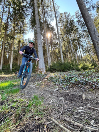
What is the Hochwieswald Bike Trail?


The bike trail is a cycling route. A trail is simply a path through nature—much like a hiking trail. The Hochwieswald Bike Trail is a joint project of the City of Marktoberdorf and the German Alpine Club, Allgäu-Immenstadt Section, Marktoberdorf Local Group.


The trail is designed for all mountain bikers who enjoy being active outdoors. To this end, the trails have been specially marked and newly constructed under expert supervision.


Use of this facility is at your own risk. The forest owner assumes no liability. Typical forest hazards should always be expected. Therefore, please ensure you have the proper equipment, including a helmet and protective gear. Ride the trails with due respect for nature, its inhabitants, and other nature lovers.


We hope you have fun!


Rules of Conduct

1. Ride only on the trails—do not ride cross-country.

2. Leave no trace—do not brake with locked wheels.

3. Keep your mountain bike under control—carelessness can cause accidents. Stay focused.

4. Respect other nature users—give plenty of warning when passing and do not startle others.

5. Be considerate of animals—forest animals require special consideration!

6. Plan ahead—check your equipment, the weather, and assess your abilities correctly.

7. Be mindful of the time—once twilight sets in, you should avoid driving in the forest so that nature can recover.
Oberdorfer Radlrunde

Logo Oberdorfer Radlrunde

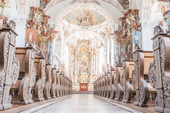
A leisurely bike ride around Marktoberdorf and its surrounding villages: 34 km long, mostly on paved paths and with minimal elevation changes. In return, you’ll see plenty: the imposing Baroque church in Bertoldshofen, the rural idyll of Sulzschneid, secluded paths far from the main roads, and one of the most modern breweries in the Allgäu—let yourself be surprised!

Geltnachtal

Kirche St. Michael, Bertoldshofen | © Christoph Jorda

There are two ways to tackle this route: at a leisurely pace or at full speed! The 24.9-km distance is manageable, and there’s only a 70-meter elevation gain. With scenic views through the Geltnachtal valley from Altdorf via Bertoldshofen to Rieder and back to Marktoberdorf, the route is equally suited for leisure and road cyclists—hop on your bike!

Southern Lands

Landschaft | © Stefan Schmid

Starting from Marktoberdorf and heading toward Rieder, Sulzschneid, Lengenwang, and Wald, then back via Leuterschach, you’ll always have the impressive mountain scenery in view! This 27.6-kilometer loop takes you uphill and downhill—with a total elevation gain of 220 meters. The route follows paved paths and is therefore also ideal for road cyclists—but please don’t forget: keep your head up and enjoy the fantastic mountain views!

Steam Locomotive Round

Logo der Dampflokrunde

This route calls for stamina—after all, the loop is 76.5 km long. It follows two former railway lines: the Sachsenrieder Bähnle and the Lechbrucker Rutsche. On July 1, 1899, the first train chugged along here from Marktoberdorf toward Lechbruck! Today, the old rail lines have been converted into fantastic bike paths. The loop can also be easily divided into several stages and offers connections to other bike tours—let off some steam!

Palace garden's tour // Schlossparkradrunde 

Logo Schlossparkradrunde Allgäu | © Tourismusverband Ostallgäu

If you want to experience all the diversity of the Ostallgäu region, the Schlossparkrunde is the perfect choice! With a total length of 218.5 km, the route leads from King Ludwig’s fairytale castle to Bad Wörishofen, the hometown of Pastor Kneipp. The German Cyclists’ Association has awarded the route the highest rating of 5 stars! You can get helpful information about the route, parking, bike service stations, and much more at our tourist office, as well as a free cycling map. You can also have your luggage transported via the Allgäu Shuttle—so set off on your journey with peace of mind! 

Cyclingtour Allgäu

Logo Allgäu Radweg

The Allgäu Cycle Route is 156 km long—it winds through varied scenery from Isny to Halblech. Marktoberdorf is right in the middle, making it the perfect starting point and destination to relax, unwind, and then continue your ride! With connections from the bike-friendly Marktoberdorf train station to the other stops along the route, there are tour lengths to suit every taste—give it a try!

Cyclingtour Allgäu

Logo Radrunde Allgäu | © Allgäu GmbH

The Allgäu Cycle Route takes you through the region’s most beautiful spots.


Sometimes it’s a steady descent along the river, other times a steep climb up to mountains and alpine pastures, through valleys and gorges, or a leisurely ride across fields and meadows.


The 475-km network of trails offers nine possible combinations: past major and minor sights, charming towns and villages, always through the picturesque Alpine foothills—touring and road cyclists, mountain bikers, and e-bikers alike will be thrilled! Cozy inns invite you to stop for a bite, and idyllic spots beckon for a rest. Marktoberdorf is located right in the heart of the Allgäu Cycle Route. Here you’ll find everything a cyclist’s heart desires—from charging stations for e-bikes to complete bicycles, along with repair services and spare parts. And once you’ve recharged your own batteries, you can continue south toward the castle park—or perhaps head north for some water treading with Pastor Kneipp?


Maps and tour suggestions are available here. The Allgäu Luggage Service ensures reliable delivery of your belongings. And if you don’t feel like cycling, you can take your bike and ride a short distance by train from the bike-friendly Marktoberdorf station.

Wertach-Explorer

Logo Wertach erleben

The special appeal of cycling along a river is that it’s practically all downhill! The route starts at the source of the Wertach at an elevation of about 1,078 meters and ends where the Wertach flows into the Lech near Augsburg at 463 meters. Along the roughly 150-km route, there is so much to discover, so many cozy spots to linger, and so many quaint inns to rest at that we simply cannot provide any time estimates—don’t let yourself be rushed!